
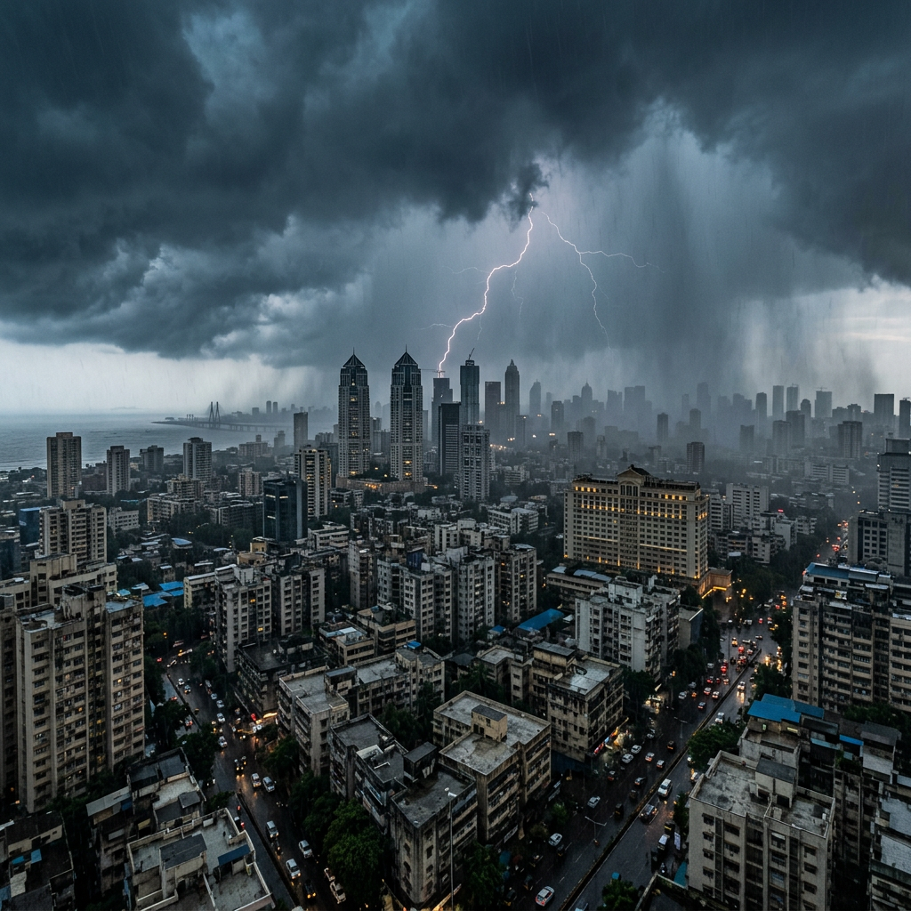
The India Meteorological Department issued an updated warning, on 4 August, for concentrated heavy to very heavy rainfall over Northeast India, adjoining eastern regions and parts of southern India.
The warning is significant because it covers more than one meteorological system and more than one geographical belt. Northeast and adjoining eastern India face a two-day heavy-to-very-heavy rainfall window followed by continued isolated heavy rain, while Kerala and parts of Karnataka were placed under a separate short-duration warning.
The Run
| Region | Latest IMD forecast | Forecast window |
|---|---|---|
| Northeast and adjoining eastern India | Isolated heavy to very heavy rainfall | Next two days |
| Northeast and adjoining eastern India | Isolated heavy rainfall | Following five days |
| Kerala | Isolated heavy to very heavy rainfall | 4/5 August |
| Coastal Karnataka | Isolated heavy to very heavy rainfall | 4/5 August |
| South Interior Karnataka | Isolated heavy to very heavy rainfall | 4/5 August |
| Kerala and affected Karnataka subdivisions | Isolated heavy rainfall | Subsequent three days |
These are broad meteorological-subdivision forecasts. District warnings, nowcasts and local observations can change more frequently and should be checked separately.
What IMD rainfall terms mean
| IMD category | Rainfall recorded at one station in 24 hours |
|---|---|
| Very light rain | Trace to 2.4 mm |
| Light rain | 2.5–15.5 mm |
| Moderate rain | 15.6–64.4 mm |
| Heavy rain | 64.5–115.5 mm |
| Very heavy rain | 115.6–204.4 mm |
| Extremely heavy rain | 204.5 mm or more |
The categories refer to rainfall measured at an individual station during the 24-hour period ending at 8:30 AM IST. “Isolated” describes the expected spatial distribution; it does not mean that the rain will be weak where it occurs. An isolated location receiving very heavy rain may still record between 115.6 mm and 204.4 mm within 24 hours.
Regional risk table
| Risk belt | Principal concerns during intense spells | Monitoring priority |
|---|---|---|
| Assam, Meghalaya and the wider Northeast | Flash flooding, river and stream rise, landslides, ferry disruption and poor visibility | District warnings, local river levels and short-range nowcasts |
| Sub-Himalayan and adjoining eastern areas | Saturated slopes, urban waterlogging and transport interruption | Hill-road advisories and drainage conditions |
| Kerala | Local flooding, slope instability and disruption on vulnerable roads | District-level orange or red warnings |
| Coastal Karnataka | Intense rain, wind exposure and drainage congestion | Coastal and urban advisories |
| South Interior Karnataka | Localised heavy accumulations and agricultural-field waterlogging | District forecasts and agrometeorological advisories |
These are standard hazard pathways associated with heavy monsoon rainfall, not reports that each impact has already occurred in every named area.
Why a two-day warning can have effects beyond two days
Rainfall risk is cumulative. A district receiving moderate rain over several days may become more vulnerable when a short very-heavy spell follows. Soil infiltration declines as ground saturation rises; runoff increases; smaller streams respond quickly; and unstable slopes can fail after the peak rain has passed.
IMD’s heavy-rain warning system uses a staged approach: advisory or watch products can begin three to four days before an event, alerts are normally issued around 48 hours beforehand, and warnings are updated within the final 24 hours. District-level products and nowcasts consequently carry more operational value than a single national headline.
Practical reading of the warning
| Forecast language | Appropriate interpretation |
|---|---|
| “Heavy to very heavy rainfall likely” | Prepare for disruptive rainfall at some locations within the named region |
| “At isolated places” | Only a limited proportion of stations may receive the stated intensity |
| “Subsequent three/five days” | Risk persists but intensity or geographical concentration may change |
| District warning or nowcast | Use for local travel, school, farming and emergency decisions |